Fishermen’s Trail Stage – Salema » Sagres
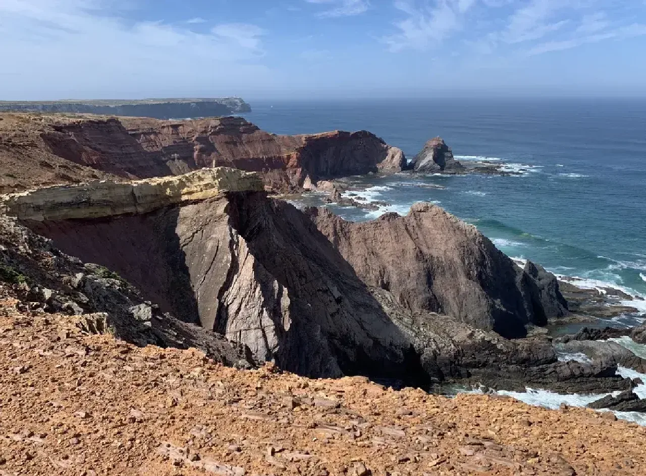
Sagres–Salema stage on the Fishermen’s Trail: wild coast, imposing cliffs and untouched beaches of the south-west Algarve.
Live availability and prices · secure booking with FareHarbor
About this experience
At Enseada da Baleeira you pass through some remarkable habitats – the watercourses dominated by tamarisk (Tamarix africana), the coastal scrub on limestone, the Martinhal lagoon, the dune, the sandy beach, the rocky intertidal zone and the coastal islets that emerge from the sea in the middle of the cove.
The Martinhal lagoon dries up in summer, but in winter it receives both seawater, due to storms, and freshwater from the Barrancos das Mós and Vale do Lobo. The species that colonise it are adapted to these variations in salinity and water availability. It is an excellent spot for birdwatching, especially during migration season, when very rare species appear. Two birds that live here are the blue rock thrush and the red-billed chough, identifiable only by the most attentive observer, since at first glance they appear completely black. The Baleeira islets are small rocky islands whose submerged walls are explored by divers to observe fish, prawns, anemones, crabs and gorgonians (a family of soft corals). Calcite, the dominant mineral in the light-coloured rocks of the cliffs, is dissolved by water irregularly, giving rise to arches, sea stacks and caves. But the sea and the runoff water also sculpt, on a smaller scale, fine and delicate lacework in the limestone rock. This area has seen human occupation at least since the Neolithic. Between the Martinhal and Rebolinhos beaches are traces of Roman occupation (3rd to 5th centuries AD) – a cistern, nine kilns for producing amphorae and also a kiln for producing tiles and bricks. A large pottery centre must have existed there, specialising in the production of amphorae for packing salted fish and fish sauces. The location of this centre was presumably chosen for its proximity to clay pits and the ease of transport by sea, thanks to the shelter of the Baleeira cove.
At Ponta da Fisga, a rocky outcrop between Zavial and Ingrina beaches, the Forte do Zavial once stood. All that remains today is the base of what would have been a small rectangular military fort, built in the 18th century. Before that, there was the fort of Santo Inácio, destroyed by the 1775 earthquake. From this point, the landscape is magnificent, with the coast visible as far as Ponta da Torre (900m) to the east and Ponta da Atalaia (6km) to the west.
Ready to book?
Check live availability and prices with FareHarbor, our secure booking partner.
Not sure which experience is right for you?
Our team knows Portugal and can help you choose, combine experiences or plan a group trip.
Talk to our team English (UK)
 Português
 Polski
 Nederlands
 Italiano
 Français
 Español
 Deutsch
 한국어
 简体中文
 Svenska