Vale Glaciar do Zêzere
A thirteen-kilometre U-shaped channel of ice-age granite, running from the high plateau of Torre down to the wool town of Manteigas.

From the high plateau of Torre — at about 1,993 metres the highest point of mainland Portugal — the land falls in one long, cold curve towards Manteigas: the glacial valley of the Zêzere, the textbook shape of an ice age carved into the granite of the Parc Naturel Serra da Estrela.
Ice on the mountain
When the mountain carried glaciers, the ice widened the old river gorge into a broad U-shaped channel some thirteen kilometres long, with polished rock faces and glacial steps along its floor. The Zêzere, one of the great rivers of Portugal, is born in these heights and runs south from the valley to join the Tagus. Above the grasslands rise the sharp Cântaro peaks, the most photographed skyline of the range.
Roads and viewpoints above Manteigas
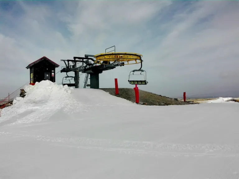
A scenic road climbs the valley from Manteigas towards Torre, with belvederes looking back over the U-shaped profile, and marked trails cross the slopes between boulder fields, pine woods and high pastures. In winter the same heights hold the country’s only ski slopes; in summer they give the coolest air in central Portugal.
À voir
- The U-shaped valley from the high viewpoints
- The scenic road from Manteigas to Torre
- The source of the river Zêzere
- The Cântaro peaks above the valley floor
- The trails through the high pastures
Informations pratiques
The valley lies in the Serra da Estrela Natural Park, in the Guarda district, with Manteigas at its foot. Mountain weather changes fast in every season: bring layers, water and grippy shoes, and drive with care on the narrow climbing roads. In cold months the upper road may close with snow — check local conditions before setting out.
Image credit: Vale Glaciar do Zêzere by MLR2022 — CC BY-SA 4.0, via Wikimedia Commons.
Expériences
Découvrez des expériences similaires


 English (UK)
 Português
 Polski
 Nederlands
 Italiano
 Français
 Español
 Deutsch
 한국어
 简体中文
 Svenska