Via Algarviana • Portugal
The Algarve Way – Self Guided!
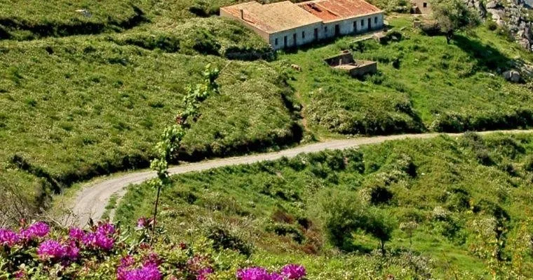
The Algarve Way – Self Guided!
- The Via Algarviana is one of the Algarve’s best kept secrets. It is a long distance trail (300km long) and perfect for walking, that runs from Alcoutim, in the Eastern Algarve all the way across the region to the western tip at Cape St. Vincent, near Sagres and crossing the Costa Vicentina Natural Park. The whole trail takes around 14 days to complete, or you can opt for shorter walk or treks. It follows a meandering, rural route through the Serra do Caldeirão and Serra de Monchique – perfect for a walking holiday in the Algarve.
- The route crosses all nine municipalities in the Algarve (Alcoutim, Castro Marim, Tavira, S. Brás de Alportel, Loulé, Silves, Monchique, Lagos and Vila do Bispo). Most of the route is fairly off the beaten track, although there are some smaller sections that are closer to busier roads. Starting near to the Spanish border and the Guadianna river the path crosses the tranquil countryside of the East Algarve. The central section of the Via Algarviana meanders around more fertile countryside near Alte, Salir and Silves. Heading towards Monchique the path rises, rises, rises towards Picota and Foía – the highest point in the Algarve at 902m. Then it’s down towards Sagres and the Atlantic with its crashing waves and beautiful sunsets.
 English (UK)
 Nederlands
 Deutsch
 Français
 Español
 Português