Pampilhosa da Serra
A mountain town of the Aldeias do Xisto where the Santa Luzia dam drowned a village and left one of the schist country’s finest lake landscapes.
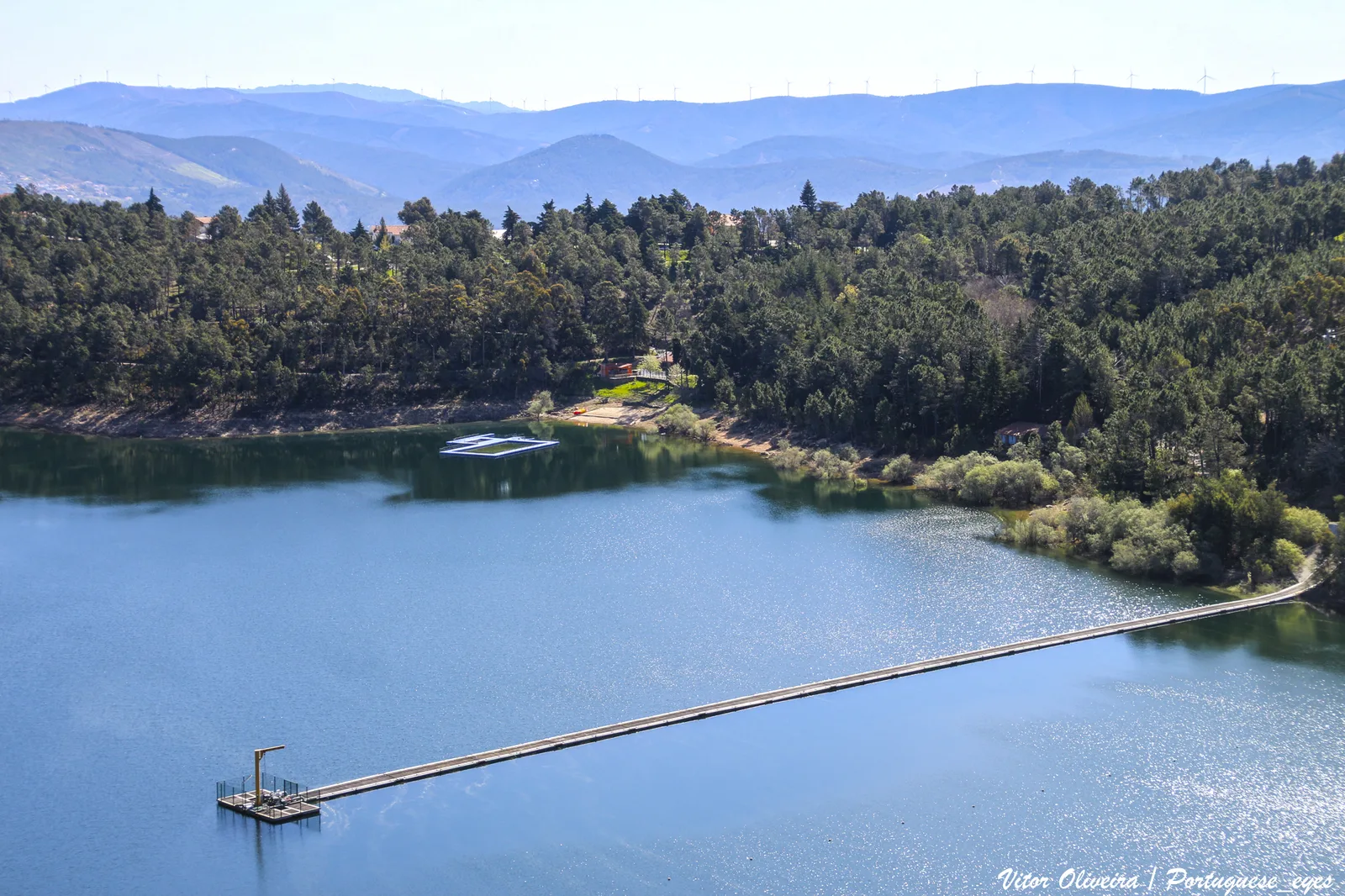
High on the border between the Serra do Açor and the Serra da Estrela, the town of Pampilhosa da Serra heads one of Portugal’s emptiest municipalities: a wide mountain territory of schist villages, pine forest and deep river valleys, where the Zêzere bends and a dam has turned one valley into a long green lake. The protected Serra do Açor and the Margaraça forest are nearby, see Serra do Açor e Mata da Margaraça.
Schist villages and a drowned valley
The municipality belongs to the territory of the Aldeias do Xisto, the schist villages of central Portugal: at Fajão, stacked on its hilltop, the dark stone houses keep the communal oven and the public wash-house of another age. The dam of Santa Luzia, built between two great rock walls, submerged the old village of Vidual de Baixo in the 1940s and left in its place the broad lake that is now one of the schist country’s most admired landscapes, with river beaches on its shores.
Mountain paths and river beaches
Walkers and riders cross the municipality between the villages, and the river beaches of Janeiro de Baixo, Pessegueiro and the dam lake swim in summer heat. On the ridges, a rock-art station on the Serra da Cebola records the mountain’s oldest visitors, and the country continues into the neighbouring territories of Arganil and the high ground of the Serra da Estrela Natural Park. The orange and olive groves of the valleys supply the local kitchen, and picking seasons bring visitors into the orchards.
What to see
- The schist village of Fajão
- The lake of the Barragem de Santa Luzia
- The river beaches of Janeiro de Baixo and Pessegueiro
- The rock-art station of the Serra da Cebola
- The walking routes between the villages
Practical information
Pampilhosa da Serra lies in the Coimbra district, in the mountain interior of the Centro region, on the roads between Coimbra and Covilhã. Mountain roads are narrow and slow: allow time, bring layers for cool evenings, and check the official websites before setting out.
Image credit: Albufeira da Barragem de Santa Luzia – Portugal by Vitor Oliveira — CC BY-SA 2.0, via Wikimedia Commons.
To Visit
More to explore

Mosteiro de Santa Clara-a-Nova
The 17th-century monastery above the Mondego where the tomb of Queen Saint Isabel stands, moved from the flood-damaged old house.
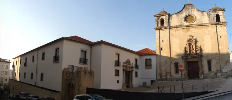
Museu Nacional Machado de Castro
Coimbra’s national museum of sculpture, in the bishops’ palace above one of Europe’s most striking Roman underground galleries.

Parque Verde do Mondego
Coimbra’s riverside park: meadows, beaches and cycle paths on both banks of the Mondego, opened in 2004 below the university…
Experiences
Explore related experiences


 English (UK)
 Português
 Polski
 Nederlands
 Italiano
 Français
 Español
 Deutsch
 한국어
 简体中文
 Svenska